boundary (2024)
The primary goal of this mapping project is to investigate the social transformation of Chinese communities, particularly Hong Kong-Canadians, in the Greater Toronto Area. We will focus on cities such as Richmond Hill, Markham, and Scarborough, observing how newcomers and existing residents interact within these spaces. Our research will highlight changes in stores, architecture, and geographical aspects of key social and demographic shift indicators in these neighbourhoods.
“boundary” focuses on the convergence of the Canadian urban environment and Hong Kong's Canadian heritage over the past three to four decades.
Many Hong Kong residents experienced uncertainty in the late 1980s and early 1990s. The signing of the Sino-British Joint Declaration in 1984, a treaty that determined Hong Kong's future, prompted many to seek a more stable future in foreign countries like the United Kingdom, Canada, and Australia.
According to statistics, there are around 210,000 Hong Kong Canadians in Canada, most of which are in Vancouver and Toronto. In 2020, the Canadian government issued a new open work permit programme, welcoming another wave of Hong Kong residents due to political events.
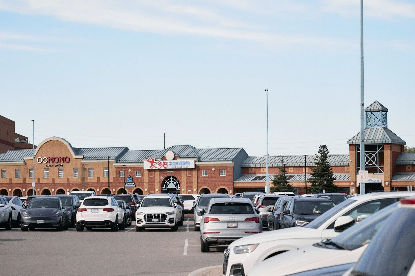
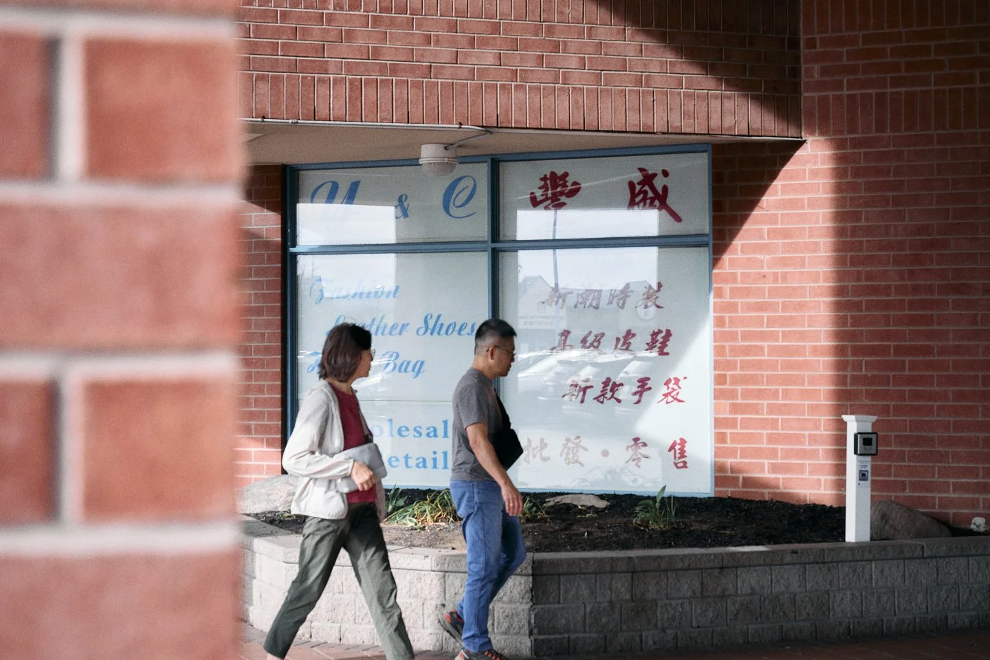
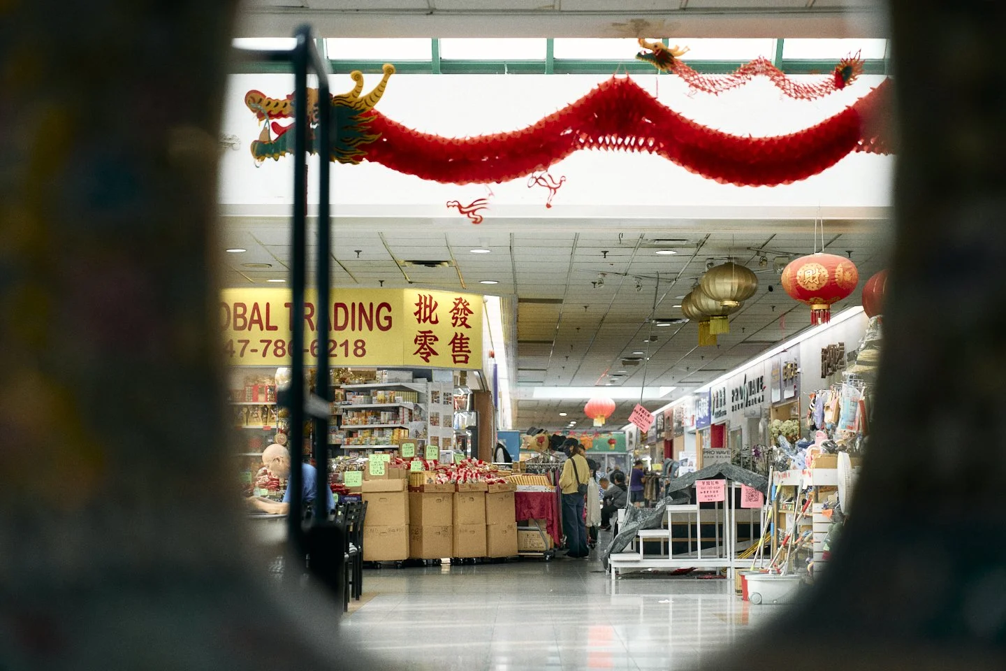
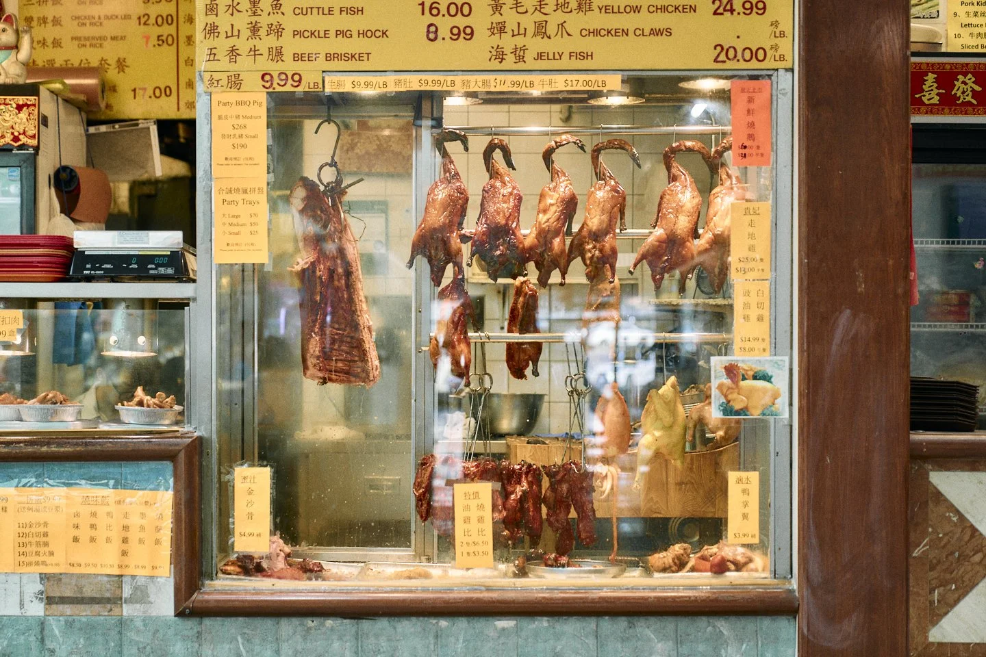
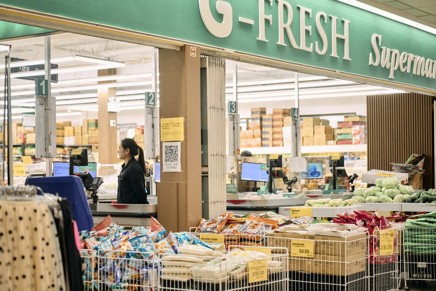
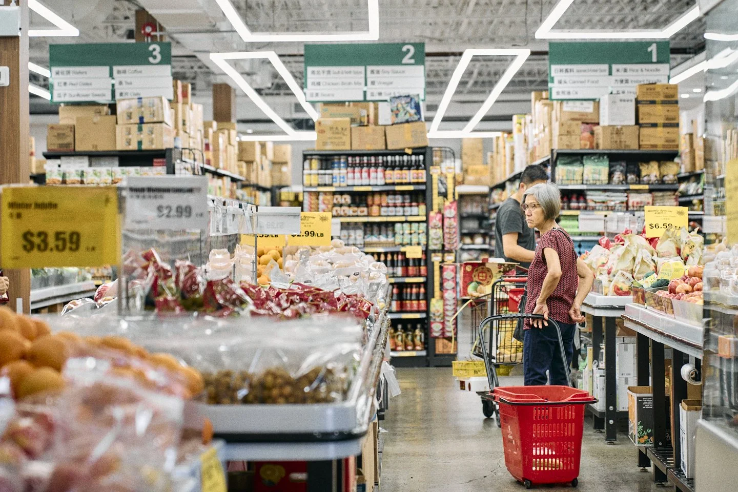
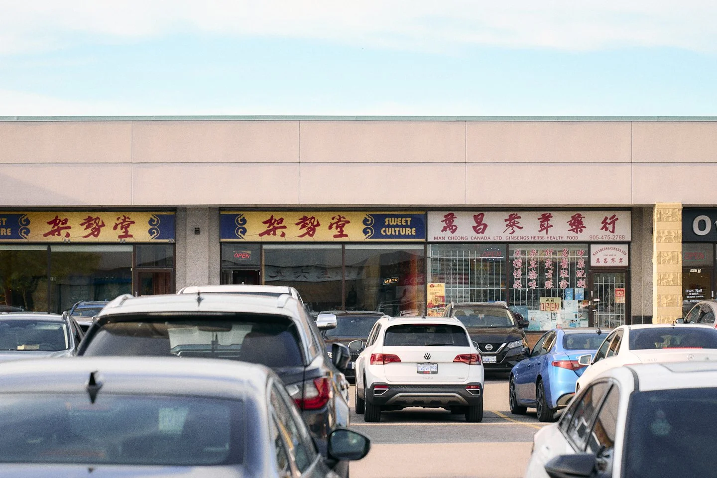
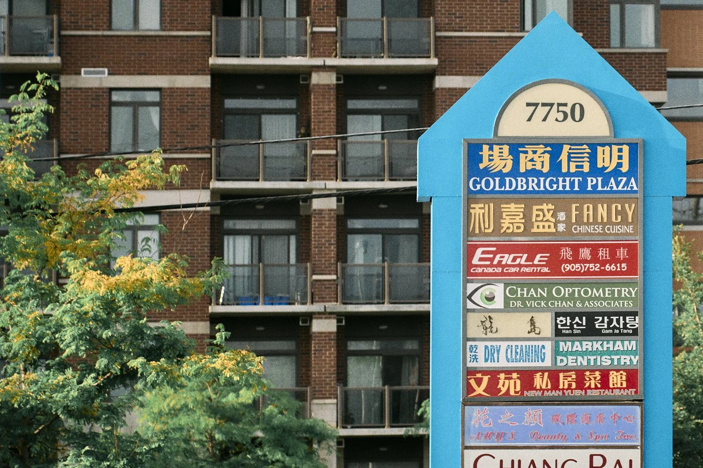
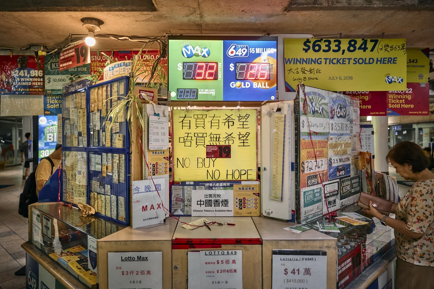
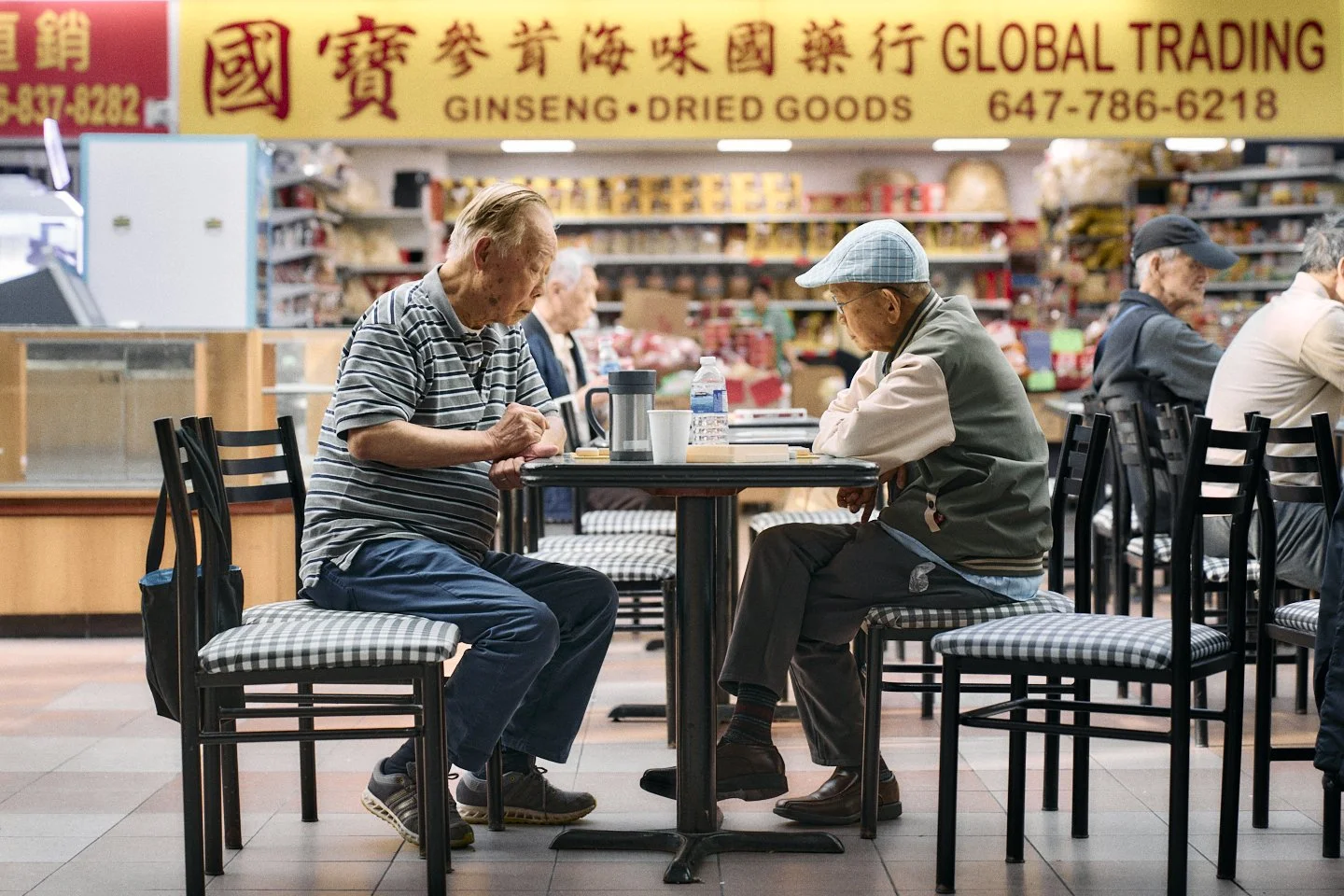
The project includes mapping the locations of First Markham Place, Pacific Mall, and New Kennedy Square, some of the area's famous landmarks. These ten images capture the interior and exterior of the stores and food courts.
It aims to comprehend and understand how "these" Hong Kong people immigrated 12,000 kilometres away from their homeland decades ago by adapting to a new environment, transforming the cornlands into a new, look-alike Hong Kong while preserving their cultural identity.